CASTLE OF KRITINIA [51]

* Please read footnote.
The castle was built in the 16th century on a hill 130 m. above sea level, near the village of Kritinia.
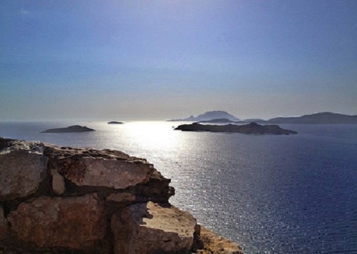
It offers a breathtaking view of the Aegean Sea, the islands Alimia, Halki, Tilos and the volcano of Nisyros.
Its strategic location helped the island's defence from pirates and enemies.
In 1480, when the first Ottoman siege of Rhodes started, the Turks sent 100.000 soldiers to Rhodes in an effort to invade and conquer the island. One of their first failures was here. They finally retreated, leaving the castle in ruins. The damages were quickly restored by the Knights and the local population.
Sunsets from the heights of the Castle are magnificent.
48 km from RHodes town
• go to Home Screen (How: tap many times on < seen at the bottom of this screen).
• tap " GPS Offline ". Easy Go GPS drives you anywhere until Internet is back again.
Both navigators: Tap on  for walking,
  for driving. Google Maps: not reliable when driving